
Every morning, millions of people in France check a weather app before getting dressed, planning a journey or deciding whether to go out. Forecasts rely on numerical models that simulate the atmosphere using millions of measurements collected by ground stations, satellites, radar and weather balloons. Since October 2024, Météo-France’s AROME model has used a new method for assimilating observations (3DEnVar), which takes current weather conditions into account more effectively.
This technical development highlights a point that is often overlooked: forecast reliability is not fixed; it improves as calculation methods advance and the quality of the data being fed into them increases.
Data freshness and update time: the invisible factor
Most users compare apps without checking one crucial detail: when the forecast was calculated. A forecast updated at 6 a.m. incorporates overnight observations, while one still based on the previous day’s 6 p.m. run may miss an air mass change that occurred in the meantime.
In practice, a recent forecast assimilates observations that earlier runs had not yet processed. To find the most reliable weather forecasts, checking the date and time of the latest calculation is more useful than choosing an app based on its reputation.
On platforms such as Meteociel, each map shows the model used and the run time. On mainstream apps, this information may be missing or hard to find. When it is unavailable, the source is less transparent, making it harder to judge how relevant the forecast is.

Weather models in France: AROME, ARPEGE and IFS answer different questions
Comparing apps without understanding the models they use is like comparing car bodies without looking under the hood. In France, three models cover most needs.
- AROME is Météo-France’s high-resolution model, with a resolution of 1.3 km. It covers France and forecasts up to around 51 hours ahead. It is highly accurate at the local level for rain, thunderstorms and convective weather, but does not provide forecasts beyond two days.
- ARPEGE, Météo-France’s global model, has a coarser resolution (5 to 24 km) and forecasts up to four days ahead. It provides a reliable outlook for temperature and wind at the synoptic scale, but is less precise for local weather events.
- IFS, the European Centre for Medium-Range Weather Forecasts (ECMWF) model, is the global benchmark, with a resolution of 9 km and a forecast range of up to ten days. Mainstream apps often rely on it for medium-range forecasts.
The American GFS and German ICON models round out the picture, but for mainland France, the combination of AROME (short range) and IFS (medium range) covers the vast majority of everyday situations.
When models disagree, the forecast becomes uncertain
A useful habit is to check whether several models point to the same scenario. When AROME, ARPEGE and IFS all forecast rain in the late afternoon, the likelihood is high. When one predicts clear skies and another showers, the disagreement itself is the key information.
The ECMWF now also offers artificial intelligence models that run alongside its physics-based models. This expands the options for comparison, but does not mean that one model consistently outperforms the others for every variable, location or forecast range. Physics-based models remain useful for high-resolution detail and certain complex processes in the Earth system.
Probabilistic forecasts: read a range of scenarios, not a single number
Météo-France’s confidence index, rated out of 5, offers a quick sense of how stable a forecast is. But this index compresses a wealth of information into a single figure: the spread of scenarios calculated by probabilistic ensembles.
Probabilistic forecasts show not one future, but a range of possible futures. Instead of reading “it will rain tomorrow at 2 p.m.”, you might see “there is a 70% chance of rain between noon and 4 p.m.” This distinction changes how you make decisions.
The limitation is well documented: uncertainty and false alarms increase with the forecast range. A 40% chance of rain tomorrow does not mean the same thing as a 40% chance of rain seven days from now. In the first case, the forecast is based on recent observations and a high-resolution model. In the second, it relies on large-scale trends that are more susceptible to accumulated errors.
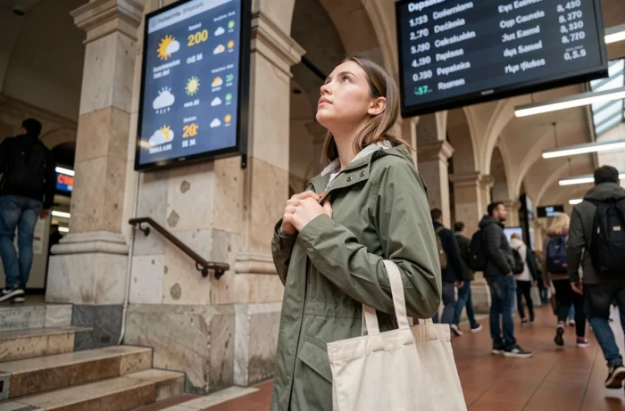
Uncertain weather forecasts: when to change your plans instead of looking for a better app
Searching for the “most reliable” app is a never-ending quest, because reliability depends on the variable (temperature, rain, wind), the forecast range and the local terrain. The more useful question is: when does an uncertain forecast justify changing your plans?
For a road trip lasting several hours, even a moderate chance of freezing snow tomorrow deserves serious consideration, because the cost of getting it wrong is high. For a walk in the woods three days from now, a 30% chance of showers may not warrant cancelling, but it does make packing a rain jacket a good idea.
Tailor your decision to your risk profile
A vulnerable person (older or living with respiratory failure) facing a forecast heatwave with a medium confidence rating has less room to take risks than an experienced hiker facing a risk of thunderstorms in the mountains. In both cases, the decision depends on weighing the severity of the risk against the level of uncertainty, not on the name of the app you checked.
The next time two apps show conflicting forecasts, that disagreement is not a flaw in the system. It signals that the atmosphere remains difficult to predict at that range. Rather than looking for a third opinion, ask yourself what you stand to lose if the less favorable scenario comes true, and act accordingly.